Flying rivers
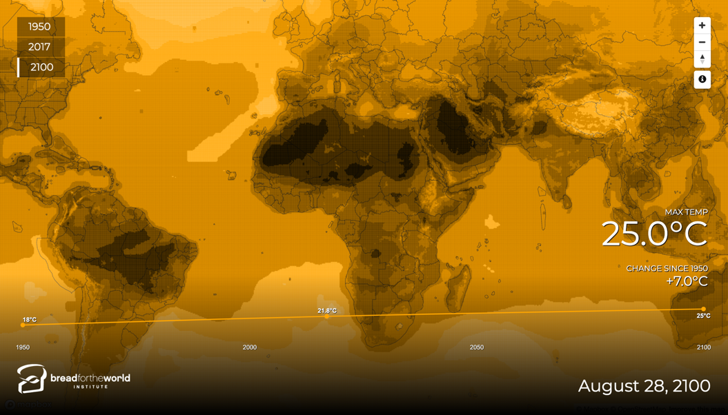
Moisture flowing from the Atlantic over the Amazon, and PM2.5 from wildfires.
Applied AI and environmental technologist
I’m a software engineer and product leader with twenty years of experience building software, data platforms, and visualization tools.
About
I turn complex environmental challenges into products people can use. Over twenty years, I’ve led teams and built the software, data platforms, and tools that take an idea from early exploration to practical use.
My focus is on making environmental change visible and actionable. Environmental monitoring is needed at a scale field teams cannot cover alone. Earth observation and AI can extend that reach, but useful monitoring takes more than satellite imagery. It brings together remote observation, field measurements, local knowledge, and scientific validation to give people evidence they can trust and act on.
Examples
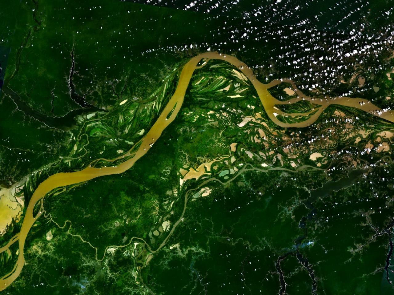
Maps and models that make complex environmental data readable, from atmospheric flows across the Amazon to plastics moving through river networks into the ocean.
Moisture flowing from the Atlantic over the Amazon, and PM2.5 from wildfires.
A day of plastic flow from the ten most polluting rivers into the ocean.
Discovery
The agent scans a search area cell by cell, flags what looks promising, then opens a higher-resolution view to confirm or discard it. Confirmed finds become a structured record you can map and revisit.
0 scanned
0 interesting
0 candidates
Demo: a vision agent scanning satellite tiles, confirming candidates at higher resolution
Case study 1 of 3
Earth Genome
Making hundreds of thousands of satellite embeddings inspectable across the whole Earth.
Earth observation models only help a decision if someone can see what the model thinks the planet looks like. This visualization samples more than 800k embeddings from Earth Index and lays them out so similarity and geography can be inspected directly.
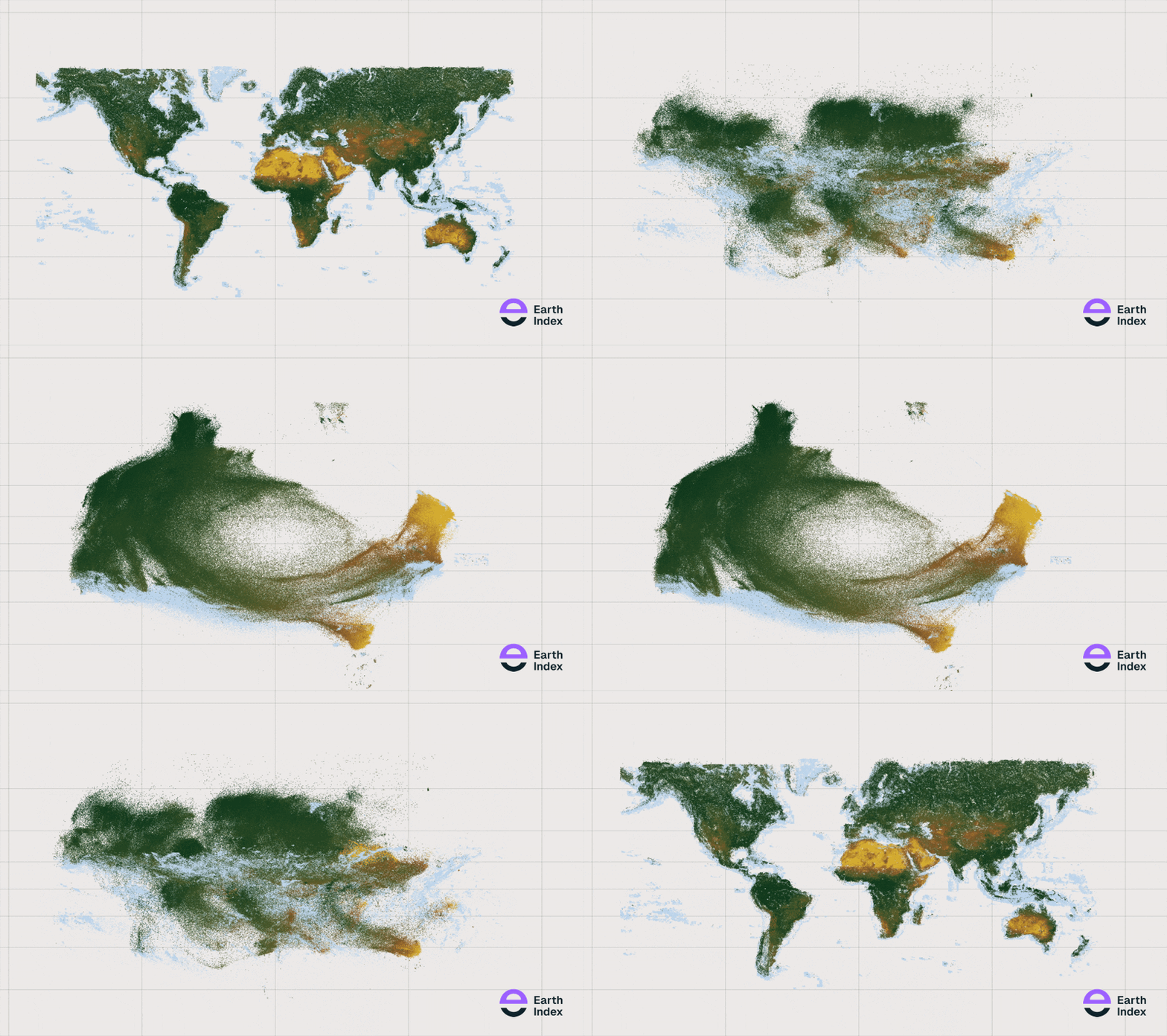
In geography mode it reads as a map of Earth. In similarity mode, UMAP regroups places the model sees as related, so deserts cluster with deserts and tropical forests drift together across continents.
How I work
Writing code is the fast part now. Plans and mockups are approximations. I treat working software as the source of truth: build the smallest real slice, show it, and refine from what it reveals.
01
The smallest working slice, end to end. A rough version beats a ticket, a diagram, or a high-fidelity mock.
02
Share it early. Everyone reacts to the same thing, and the product sets the direction instead of a meeting.
03
Change what the build just taught us, then run the loop again. Iteration is the strategy, not the cleanup.
Ideas in development
New approaches to understanding the natural and built world. These are projects I'm developing, testing, and looking for collaborators to help shape.
Supporting nature projects with repeatable evidence.
Exploring how AI agents can bring satellite imagery, environmental data, and project records together to support measurement, reporting, and verification. The aim is to help teams monitor restoration, track landscape change, and investigate where closer assessment is needed.
Making biodiversity information easier to use.
Exploring ways to connect fragmented species observations and habitat information into accessible, traceable data. I'm interested in helping conservation teams and researchers understand what is known about a place, where the gaps are, and how that knowledge changes over time.
Finding what's missing. Following what changes.
Developing AI vision agents that systematically examine imagery, investigate potential findings, and build structured geographic records. From facilities and infrastructure to activity affecting sensitive landscapes, I'm exploring how the same approach can support both discovery and ongoing monitoring.
I welcome project partners, researchers, and organizations with a question these approaches could help answer.
Let's talk
Tell me about the problem, the data you have, and what you need to make possible.